Maps, Navigation & Directions
Overview
Maps, Navigation & Directions caters to a critical market segment: travelers and outdoor enthusiasts operating in environments with limited or expensive data connectivity. While Google Maps and Waze are the default choices for many, this application carves out a niche by bundling a comprehensive suite of "Traveler's Tools"—including a digital compass, altimeter, and area calculator—into a single, offline-capable package.
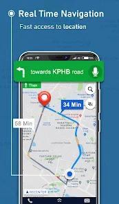
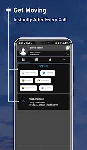
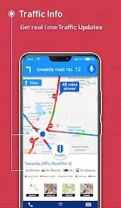
The primary technical strength of the app is its "Offline GPS" capability. Users can download detailed maps for all seven continents, allowing for turn-by-turn voice guidance even without a SIM card. This is achieved by utilizing the device's internal GPS receiver and a local database of millions of interesting places (POIs) such as ATMs, hotels, and restaurants. A unique "After-Call Screen" feature provides immediate access to navigation tools after a phone call ends, facilitating quick transitions from planning a meeting to navigating to the location.
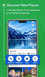
Beyond simple driving directions, the app supports multi-modal travel, including cycling and walking routes with elevation data (uphill/downhill indicators). For professional or outdoor planning, the "Area Calculator" and "Level Indicator" provide measurement tools that are typically only found in specialized engineering apps. Despite its "free" branding, it offers high-resolution 3D maps and street views, though users must manage their local storage to accommodate these large data files.
Pros & Cons
Includes a specialized "Area Calculator" for measuring land and distances on the map.
Unique "After-Call" feature provides one-tap access to GPS tools immediately following a conversation.
Supports multiple travel modes (car, bike, pedestrian) with detailed elevation and terrain info.
High-resolution 3D landmarks and street views for better urban orientation.
Robust offline navigation for 7 continents, including turn-by-turn voice guidance.
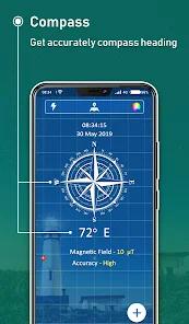
Bundles essential secondary tools: digital compass, altimeter, speedometer, and sensors.
- ✕
Significant storage space is required to download detailed offline map regions.
- ✕
Frequent map updates are necessary to maintain accuracy for local business listings.
- ✕
The offline search function may lack the deep, real-time context of an online-only search engine.
Download
 Get it on Google Play
  Get it on App Store
 FAQs
Do I need a data plan to use this app?
No, as long as you have downloaded the maps over Wi-Fi, the app uses your phone's GPS sensor to navigate offline.
Can I save maps to an SD card?
Most advanced offline map apps support SD card storage to save internal phone memory.
Does the speedometer show real-time traffic?
The speedometer measures your current speed; traffic alerts require an active internet connection.
How accurate is the altimeter?
It uses a combination of GPS data and barometric sensors (if your phone has them) to estimate altitude.
Are the maps updated for free?
Yes, most reports indicate that map updates for downloaded regions are free for the lifetime of the app.
Hot Reviews
Users frequently recount stories of being in a foreign city without data and using this app to find their hotel and local ATMs with ease.
Many reviewers are impressed that they don't have to download a separate compass or speedometer, noting that the "After-Call" screen is surprisingly useful.
Some users caution that continuous background GPS tracking can drain your battery quickly, recommending a car charger for long trips.