
AllTrails: Hike, Bike & Run

Overview
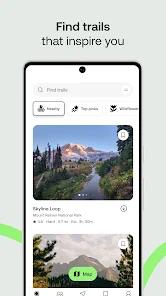
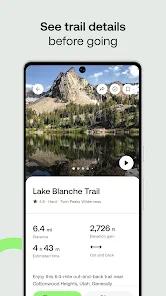
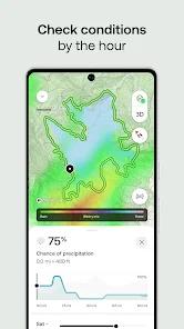
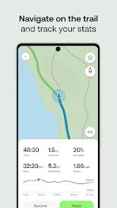
AllTrails is the definitive platform for outdoor navigation in 2026. With over 500,000 curated trail maps, it has evolved from a simple directory into a life-saving safety tool and community hub. The application's deep functionality is built around 'Topographic Precision.' In 2026, the app utilizes high-resolution 3D maps that allow hikers to visualize the elevation changes and terrain challenges of a trail before they even set foot on it.
The 'AllTrails Peak' membership, introduced recently, is the app's most significant update. It includes 'Outdoor Lens'—an Augmented Reality (AR) feature that identifies mountain peaks, trailheads, and landmarks through the phone's camera. This is a massive leap forward in trail-finding technology. Furthermore, the 'Lifeline' feature allows users to share their real-time location and planned route with emergency contacts, automatically alerting them if the user hasn't checked in by a specific time.
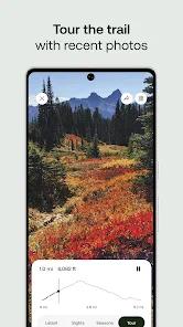
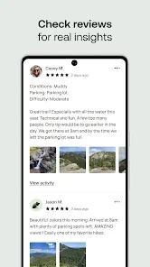
Deep insights into the app's data reveal its biggest strength: the 'Community Layer.' Unlike static government maps, AllTrails is updated in real-time by thousands of users. If a trail is washed out by a recent storm or a park is closed for maintenance, the 'Trail Conditions' section will reflect this immediately. This 'Living Data' makes it safer than traditional GPS devices. AllTrails' social features—where users share photos, reviews, and 'Verified Completed' routes—create a sense of belonging that keeps millions of 'outdoor enthusiasts' engaged year-round.
Pros & Cons
Massive, user-verified database of global trails
Advanced 3D mapping and AR 'Outdoor Lens' features
Critical safety tools like 'Lifeline' and off-route alerts
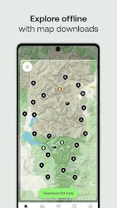
Offline map downloads are seamless and reliable
- ✕
Some of the best features (offline maps, 3D) require a subscription
- ✕
Battery usage is high when using GPS tracking and AR
- ✕
Popular trails can sometimes be overcrowded due to app visibility
Download


FAQs
Can I use it without cellular service?
Yes, with 'Plus' or 'Peak' you can download maps for offline use.
How do I find dog-friendly trails?
Use the 'Filters' to select for dog-friendly, kid-friendly, or wheelchair accessible.
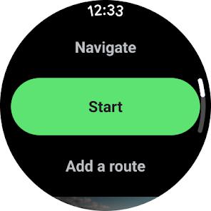
Can I sync it with my Apple Watch or Garmin?
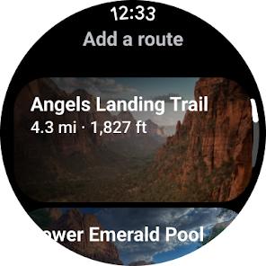
Yes, it offers full integration with most major wearables.
Hot Reviews
The 'Wrong Turn' alert vibrated my watch when I missed a switchback. Highly recommend!
I always check the recent reviews to see if there's snow or mud before I drive out.
Identifying peaks with my camera while on the summit is such a cool feature.